Calculates multiscale slope and aspect of a DTM over a sliding rectangular window using a using a local planar fit to the surface (Sharpnack and Akin 1969).
Arguments
- r
DTM as a SpatRaster (terra) or RasterLayer (raster) in a projected coordinate system where map units match elevation/depth units (up is assumed to be north for calculations of aspect, northness, and eastness).
- w
Vector of length 2 specifying the dimensions of the rectangular window to use where the first number is the number of rows and the second number is the number of columns. Window size must be an odd number. Default is 3x3.
- unit
"degrees" or "radians".
- metrics
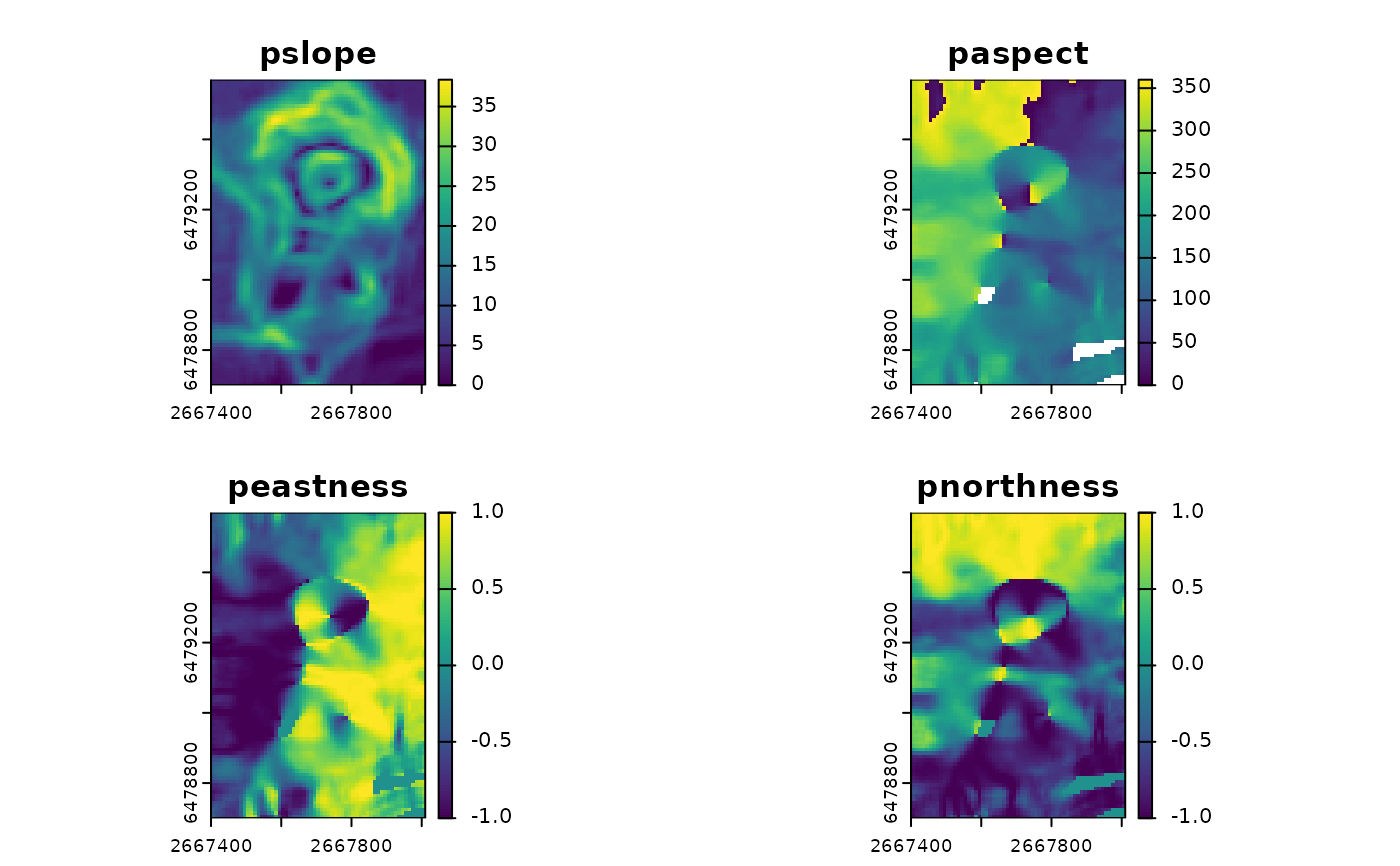
Character vector specifying which terrain attributes to return. The default is to return c("pslope", "paspect", "peastness", and "pnorthness"). These are preceded with a 'p' to differentiate them from the measures calculated by SlpAsp() and 'Qfit' where the 'p' indicates that a planar surface was used for the calculation. Additional measures available include "dz.dx" and "dz.dy" which are the x and y components of slope respectively.
- na.rm
Logical indicating whether or not to remove NA values before calculations.
- include_scale
logical indicating whether to append window size to the layer names (default = FALSE)
- mask_aspect
Logical. If TRUE (default), aspect will be set to NA and northness and eastness will be set to 0 when slope = 0. If FALSE, aspect is set to 270 degrees or 3pi/2 radians ((-pi/2)- atan2(0,0)+2pi) and northness and eastness will be calculated from this.
- filename
character Output filename. Can be a single filename, or as many filenames as there are layers to write a file for each layer
- overwrite
logical. If TRUE, filename is overwritten (default is FALSE).
- wopt
list with named options for writing files as in writeRaster
Details
If only first order derivatives are needed, Pfit is faster than Qfit and should provide equivalent results to Qfit for first order derivatives (Jones, 1998) when na.rm=FALSE and approximately the same results otherwise.
References
Evans, I.S., 1980. An integrated system of terrain analysis and slope mapping. Zeitschrift f¨ur Geomorphologic Suppl-Bd 36, 274–295. Jones, K. H. (1998). A comparison of algorithms used to compute hill slope as a property of the DEM. Computers & Geosciences, 24(4), 315–323. https://doi.org/10.1016/S0098-3004(98)00032-6 Wood, J., 1996. The geomorphological characterisation of digital elevation models (Ph.D.). University of Leicester.